 |
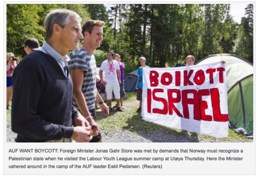
| Innan massakern på Utöy,a Norge |
Norwegian NGO Funds Exhibit Erasing Israel from Map
Maps exhibit presents Israel as 'Palestine' from NGO partnered with major US government, EU organization
First Publish: 1/5/2015, 5:07 PM
First Publish: 1/5/2015, 5:07 PM

Map of Israel, Middle East
An exhibition of colorful maps erasing Israel and presenting it as "Palestine" was funded by a Norwegian NGO, according to Palestinian Media Watch - and its sponsors include the Norwegian government and other international donors.
Photos of the exhibit uncovered on a Palestinian Arab website show maps with "This is Palestine" across the top and noting that the area is "27,009 square kilometers" - an area that includes all of Israel.
Another map shows "the borders of Palestine" as Israel's borders, including the Mediterranean Sea, Lebanon, Syria, Jordan and Egypt.
A third map shows Israeli cities, e.g. Be'er Sheva, Haifa, and Safed, as "Palestinian cities."
The NGO, Norwegian People's Aid (NPA), is expressly working to support Palestinian Arabs' "return for their homeland," as stated on their website, in "the struggle to have recognition of the rights of the refugees to eventually return to their homeland after more than 60 years, and while they are staying in Lebanon the struggle for their basic civil rights and rights to basic services, to work and housing."
NPA's published list of 2012 sponsors and donors include the US State Department, USAID - US Agency for International Development, the EU and UN, the Dutch and Swedish ministries of foreign affairs, Germany and other governments, in addition to the Norwegian Ministry of Foreign Affairs and NORAD - the Norwegian Agency for Development Cooperation.
Palestinian Arab media and organizations regularly perpetuate the claimthat Israel is "Palestine," and present maps and propaganda erasing Israel from history and claiming that Israeli Jewish cities are Palestinian.
But the revelation also follows a separate map controversy, after English-language publishing giant HarperCollins was forced to apologize for distributing atlases which literally erased Israel from the map.
HarperCollins had been distributing the atlases via its subsidiary Collins Bartholomew, which specializes in maps, throughout Arab countries in the Middle East, depicting Jordan and Syria extending all the way to the Mediterranean Sea.
Inga kommentarer :
Skicka en kommentar
Tack för kommentar - jag godkänner när jag har läst den! Om den är värd att godkännas :)